 To support undergraduate research on the University of the South's 13,000 acres, the Landscape Analysis Lab develops geospatial data resources that are accessible to all faculty, staff, and undergraduate researchers. The Digital Domain is the LAL's effort to document and describe the natural, cultural, historical, and economic and other aspects of the Sewanee landscape, providing researchers and instructors with a unique tool for exploring the environment and our role in environmental change
The Landscape Analysis Lab GIS hub
The Landscape Analysis Lab has helped several campus organizations build maps, web apps, and storymaps. To explore these maps and interactive stories visit the Landscape Analysis Lab GIS Hub at https://university-of-the-south-lalsewanee.hub.arcgis.com/. On the hub site, you can download PDFs of maps for campus resources such as hiking and deer hunt maps (during the fall, while the hunt is ongoing) and a copy of the Domain hiking map as an online interactive map. There are also a variety of story maps created in support of projects created with various campus organizations like The Roberson Project on Slavery, Race, and Reconciliation, The William R. Laurie Archives, and the Trench Town Museum and Culture Yard. In addition, the LAL GIS Hub includes links to copies of frequently requested Domain data such as trails, the Domain boundary, roads, and buildings that can be downloaded for use in a GIS or used in an online GIS like ArcGIS Online.
Geospatial Data Resources
Faculty and students from across all disciplines use the LAL as a resource for learning geospatial science and developing geospatial datasets. Please contact the Lab Manager if you require access.
Project Map Gallery
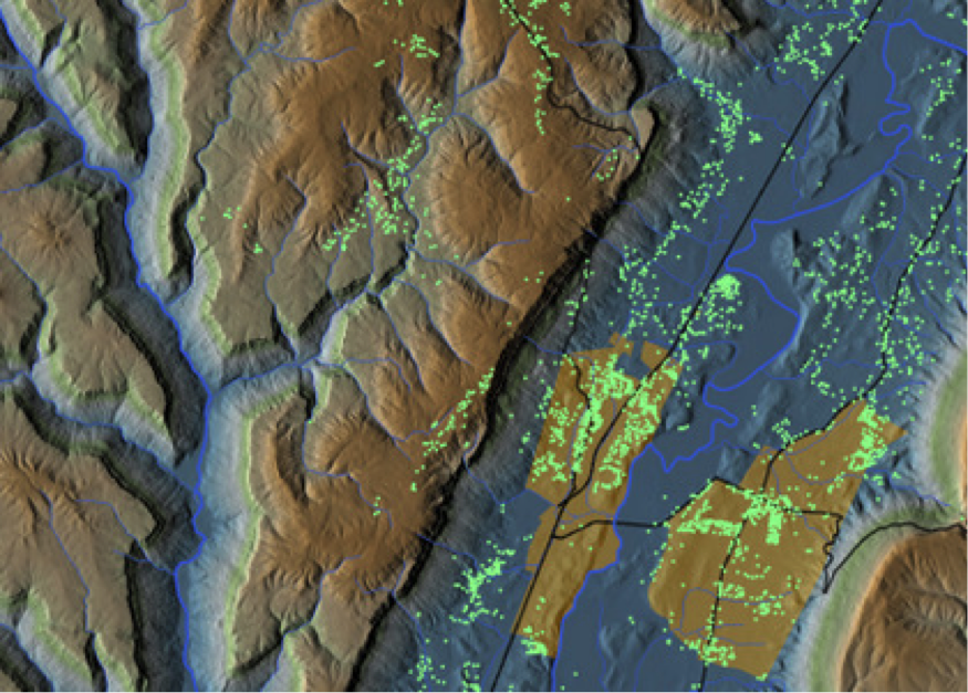
The LAL produces print maps for faculty, students, departments, and our partner organizations which require our assistance. Faculty and students also come to the LAL to learn to create maps for their own projects.