Domain Weather Datasets

The University of the South has been the location of a National Oceanic and Atmospheric Administration weather station since 1958. Each day, the maximum and minimum temperature is collected along with any precipitation that has fallen in the past 24 hours. This long-term dataset of temperature and precipitation data is useful for student and faculty researchers alike and can also be a valuable resource for backyard weather buffs. 

There are also two fully instrumented weather stations on campus that collect finer scale weather data in one hour increments including momentary wind, rainfall , photosynthetic capacity, soil temperature and soil moisture.  These datasets are also available for research use.  (Please note these are raw datasets and require some processing and filtering for utilization.
Gate Request and Recreational Access

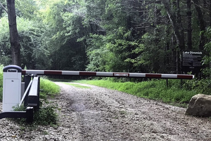
The University of the South operates and maintains more than 25 miles of forest roads on the Domain and 47 gates to limit access. Use of these roads may be granted to faculty, staff, students, alumni, and community members on a limited basis. All users must comply with the University of the South Gate and Road Access policy.

The University of the South also allows alumni and leaseholders who possess a recreational access card to reserve and use our developed campsites and backcountry cabins. 


If you have an emergency behind a locked university gate, please dial 911. 

Research

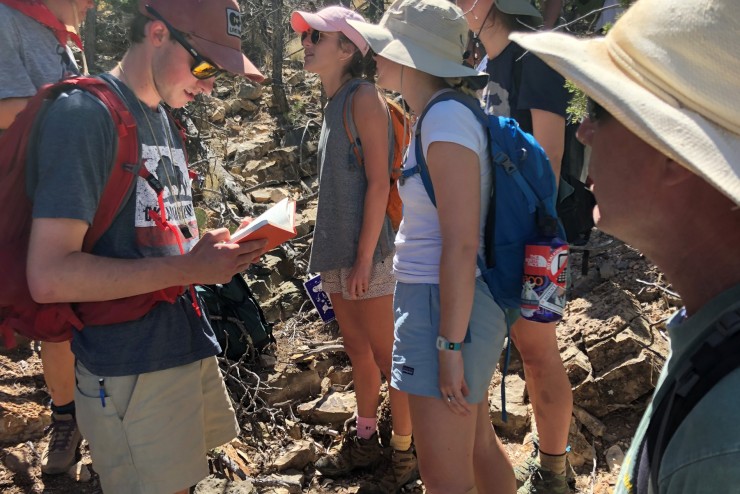
Education and research are two of the primary intended uses of the Domain. The Office of Environmental Stewardship and Sustainability (OESS) provides oversight to the research and education that are conducted by faculty, staff, partner agencies, and NGO's.

Recreation Maps

The Landscape Analysis Lab has begun publishing geo-enabled pdfs for the Sewanee community to use on mobile devices. They can be viewed on smart phones and other mobile devices with the use of a 3rd party app, such as the free PDF Maps app from Avenza.