Decoding River and Valley Geometry in the Himalayas
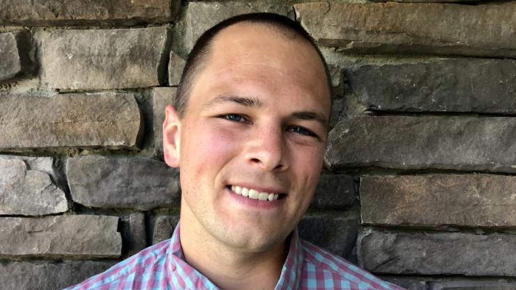
In 2017, on a research trip to Nepal supported by the National Science Foundation, Assistant Professor of Geology Max Dahlquist and his Ph.D. advisor, University of Southern California professor Josh West, found themselves marveling at the landscape. They particularly noticed the boulders that could be found everywhere in Himalayan rivers, many the size of small houses, protecting the bedrock underneath from the abrasive action of rivers. The two geologists began to wonder about those massive boulders—which tumble to the rivers during landslides—and how they are cleared out at a rate that enables the high level of erosion typical in the region’s rivers.
Dahlquist, a geomorphologist interested in erosion and landscape evolution (although he is also very serious about creative writing), and West thought glacial lake outburst floods (GLOFs) might offer an explanation as to how these boulders can move. GLOFs occur when a lake that was previously dammed by glacial ice or moraine—a term for sediment bulldozed up by glacial movement—breaks out of its containment. At that time, however, there were no existing studies on a regional scale that could help answer their question.
Using remotely sensed data, Dahlquist and West examined the impact of GLOF frequency on river and valley geometry in the Nepalese Himalayas by looking at various aspects of river tributaries, particularly the steepness and width of their valleys. In certain areas, GLOFs can occur relatively frequently, once every 30 years or so, whereas they are much less common in other areas. As the scientists analyzed the data, they sought to answer their guiding question: Was there a relationship between frequency of GLOFs and these characteristics of the river valley?
Eventually, Dahlquist and West determined that the outburst floods sweep out coarse sediment in channels with upstream glaciers, narrowing their valley bottoms and forcing tributaries to these rivers to steepen in response. The scientific journal Earth Surface Dynamics recently published Dahlquist and West’s article reporting on this research titled “The imprint of erosion by glacial lake outburst floods in the topography of central Himalayan rivers.”
Dahlquist believes that the knowledge obtained from this project will be very helpful in future hazard analysis and landscape evolution modeling in glaciated mountains, as previous models seem to have missed something essential. In addition, these research findings suggest that the impact of our changing climate will have major implications for controlling erosion, even in those areas that are far downstream from glaciers.
Next, Dahlquist intends to begin a series of outburst flood studies here at Sewanee, using a stream table to simulate a real-life river valley. He is looking for more students to be involved in this project and other endeavors because his favorite part of his work at Sewanee is facilitating undergraduate research. Facing an uncertain future with regard to climate and the environment, such research opportunities not only provide students with a chance to more deeply explore their interests and passions—they also offer a unique opportunity to expand students’ understanding of the natural world and their place in it.
Interested in reading about more faculty and student research projects? CLICK HERE!
More about Sewanee
Visit Sewanee
Welcome to the Domain
A visit to the Domain (it's what we call our 13,000-acre campus) is the best way to determine if Sewanee is a good fit for you. Once you set foot on campus, spend time with our students and professors, or take a stroll through Abbo's Alley, we are confident that Sewanee will find its way into your heart.

Programs of Study
38 Majors, 44 Minors, 3 certificates & More
Our small classes mean that your voice will be heard, your contribution will be expected, and your opinion will be listened to (and disagreed with, and challenged, and seen from a different perspective, and pushed in a new direction, and considered—and you know what? Maybe we’re both right. See how it works?).

Campus Life
Welcome movers, shakers, dreamers, explorers, and soon-to-be lifelong friends.
We're a community where everyone has a place and there's a place for everyone. Group study? We'll bring our notes. Rock climbing? We're geared up and ready. Jam session? Sure, we'll play with you. Whatever you want to do, at Sewanee, you'll never have to go it alone. Unless you need your space. Then, we totally get it.