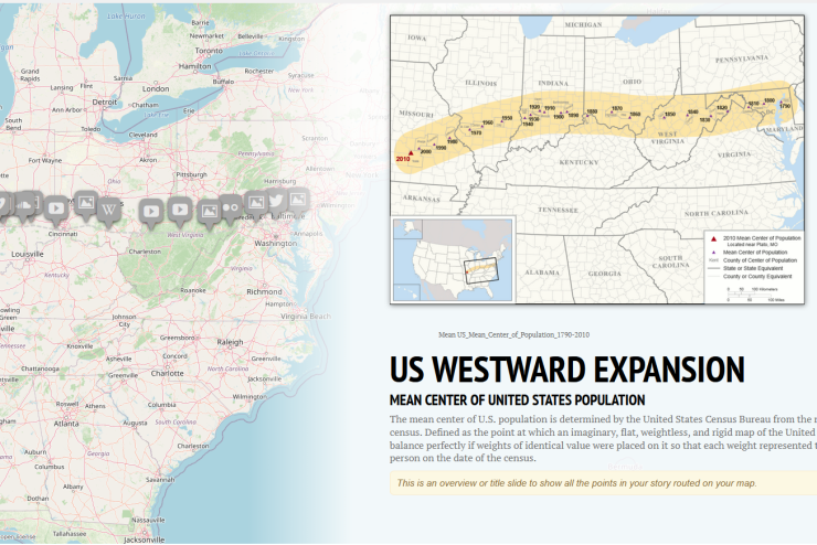
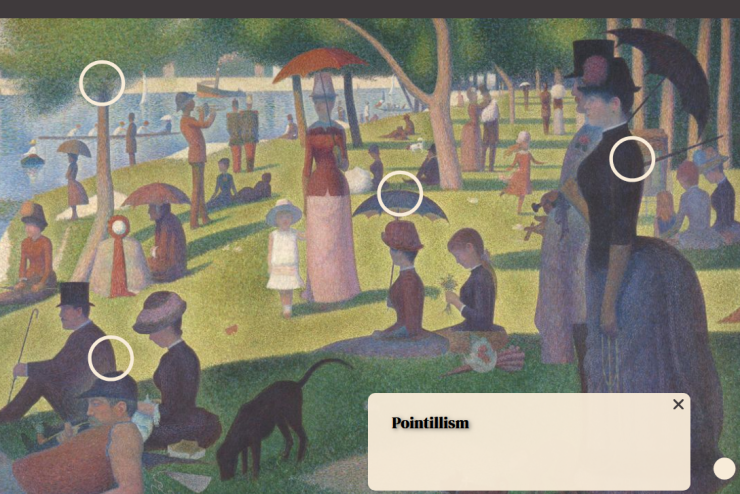
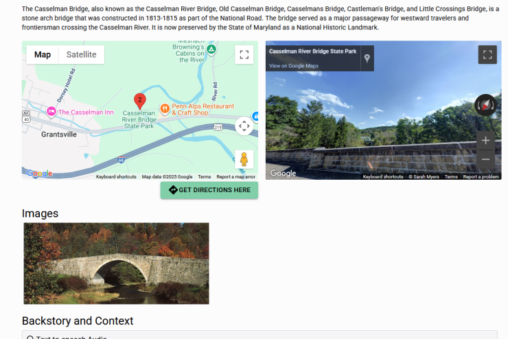
The University supports three different types of maps for classroom assignments: Virtual Tours, StoryMaps, and Interactive Images. Each type of map highlights different aspects of research and builds different skills. 

Virtual Tours 

A Virtual Tour guides users though a simulation of real world locations created by images, videos, and other multimedia elements. Tours highlight the individual locations of your topic and communicate the distance between locations. The ability to upload multimedia content allows for comparison between what a location looks like in the present versus the time period of the topic. 

Story Maps

Story Maps are interactive maps that highlight the spatial and narrative aspects of a topic. Unlike virtual tours they do no simulate a location instead focusing on locations as a framing for a narrative of a topic. 

Interactive Images 

Mapping an image involves adding clickable sections to an image that when clicked provides information or a close up of that section in a pop up. Any type of image can be mapped through this technology is most often used as a way to present information about works of art.